Friday, 25/01/2013 16:56 (GMT+7)
Nha Trang is endowed by nature with a temperate climate, beautiful natural scenery, and a rich history and culture.
Nha Trang coastal city is the capital of Khanh Hoa province, on the south central coast of Vietnam, located beside Nha Trang Bay. The seven - kilometre stretch of Tran Phu street along the sea is the largest and the most beautiful street, which also showcases the important architectural works of the city, and is building more works to serve tourists.
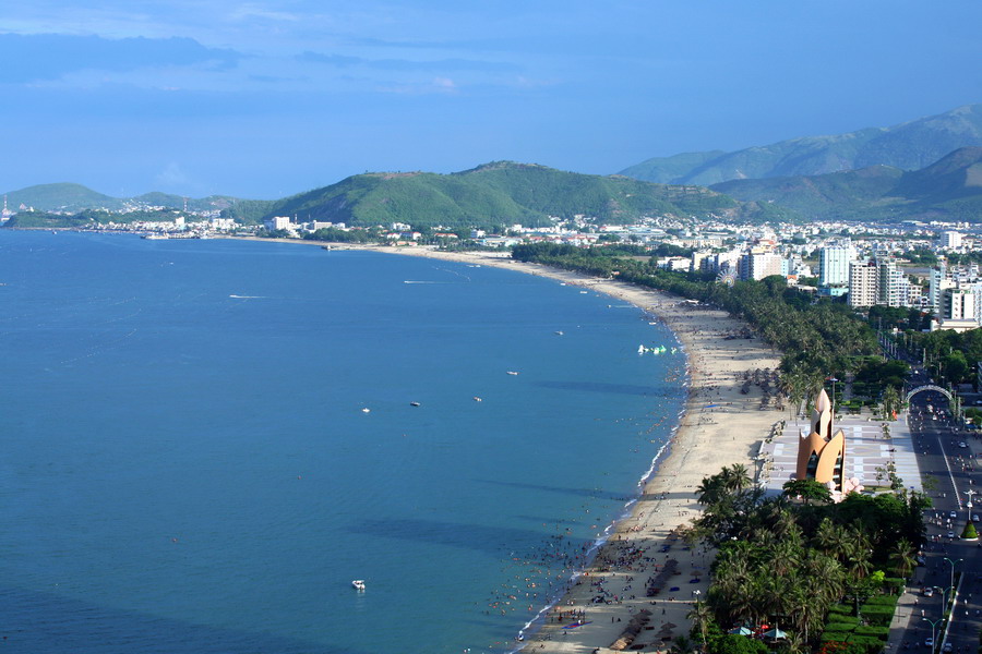
Nha Trang Beach is a long stretch of curving white sand where the city embraces the blue sea. Not only beautiful natural scenery, Nha Trang also attracts tourists for its year-round warm climate and the overwhelming sunlight. Nha Trang Bay has many islands guarding its entrance, so the water is so quiet and with smooth waves; the city is a seaside resort and an ideal destination for tourists.
Nha Trang bay is one of the most beautiful bays in the world. It is 507 square kilometres with 19 large and small islands, the largest of which is Hon Tre Island with 3,250 hectares, and the smallest is Hon Noc Island with about 4 hectares.
Nha Trang Bay has mountains, rivers, the sea, lagoons, islands, fields and villages, for excellent tourism value. Nha Trang Bay is a unique natural model of systems of bays and lagoons in the world with biological diversity and most of the typical ecosystems of the tropical marine region.
In March, 2005, Nha Trang Bay was recognized by the Ministry of Culture and Information (now the Ministry of Culture, Sports and Tourism) as a National Landscape. On April 22, 2009, the Prime Minister signed a decision to recognize Nha Trang as a first-grade city.
Nha Trang now is one of the important cultural, economic and tourism centres of the south central coast of Vietnam.
 |
|
A corner of Nha Trang city looking toward the south |
 |
|
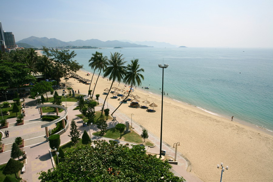
A corner of Nha Trang Beach along Tran Phu Street,
near the central square |
 |
|
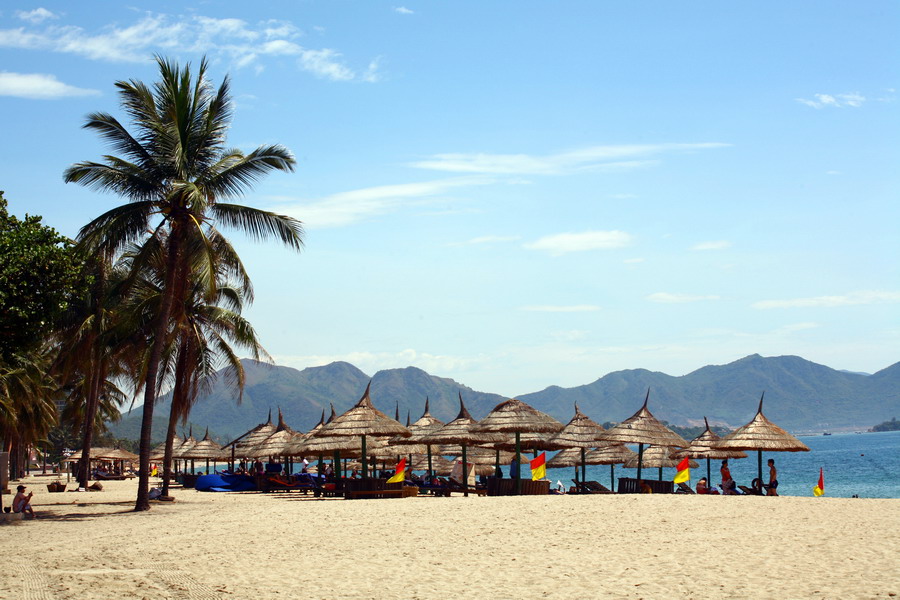
The beach, always bathed in sunlight |
 |
|
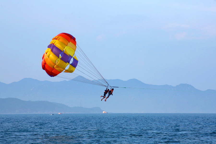
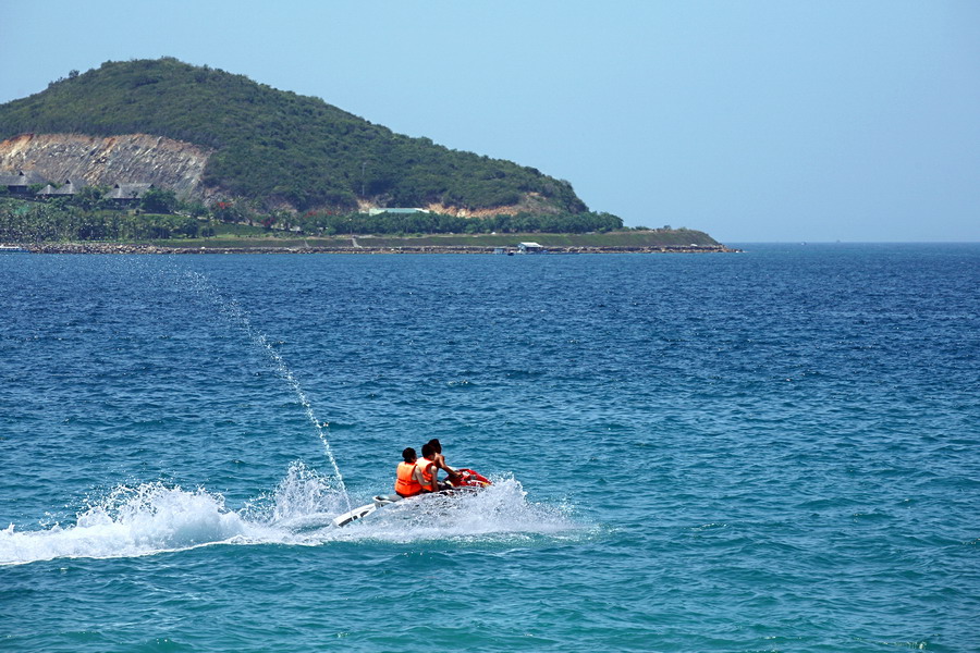
The smooth sea and temperate climate promote sea sports here |
 |
|
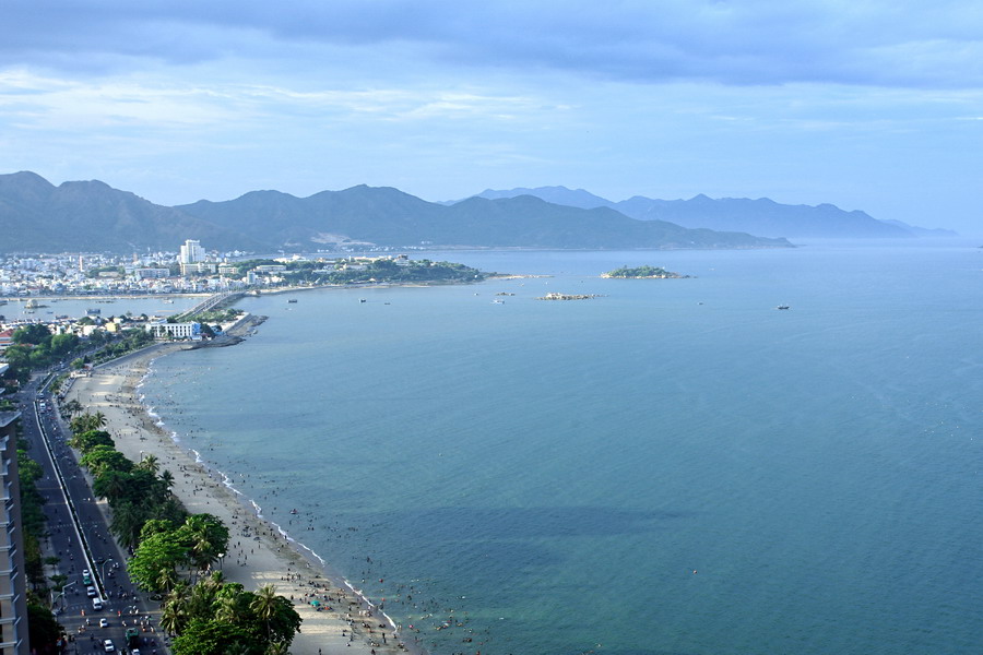
Nha Trang Beach along Tran Phu Street to the north |
 |
|
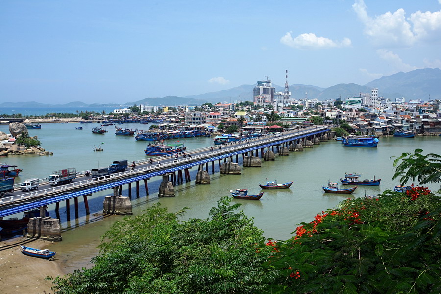
Xom Bong Bridge in the north of the city, where the Cai River flows
into the sea. Cu Lao fishing port is beneath the bridge. |
 |
|
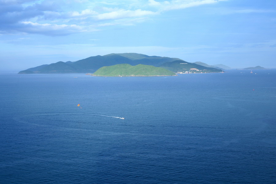
Nha Trang Bay and Hon Tre Island as seen from the centre of the city |
 |
|
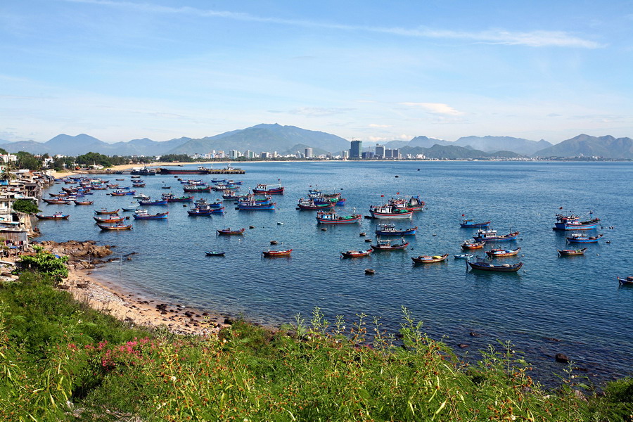
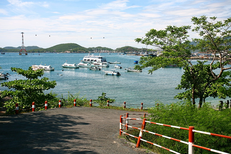
Nha Trang Bay viewed from Bao Dai palace on Canh Long Mountain
in the south of the city |
 |
|
The wharf at Bao Dai palace |
 |
|
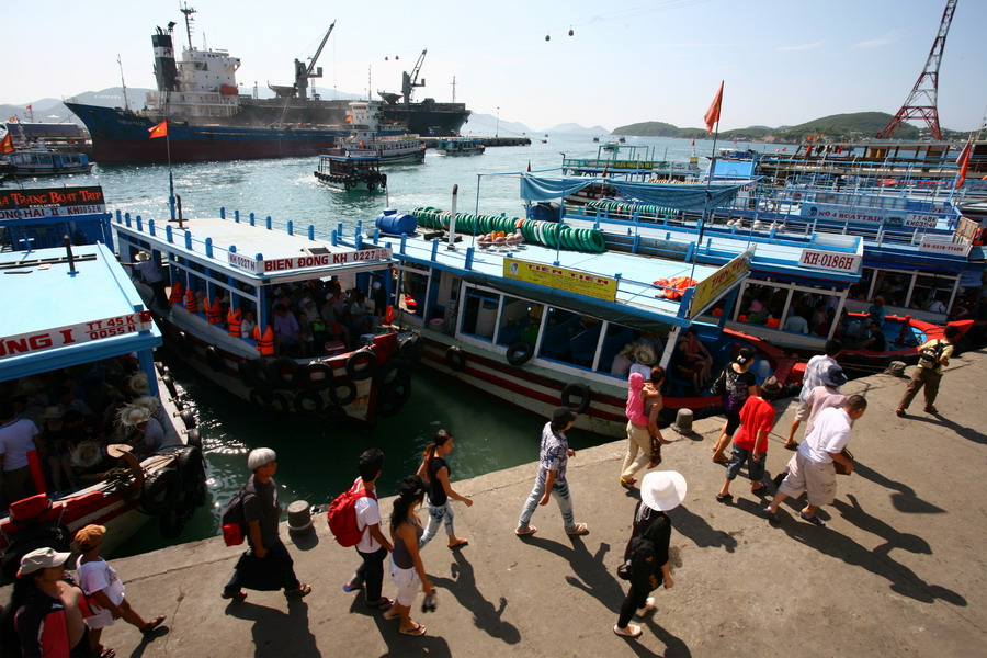
Cau Da tourism port at the end of Tran Phu Street in the south of
the city. The boats visiting Nha Trang Bay depart from here. |
 |
|
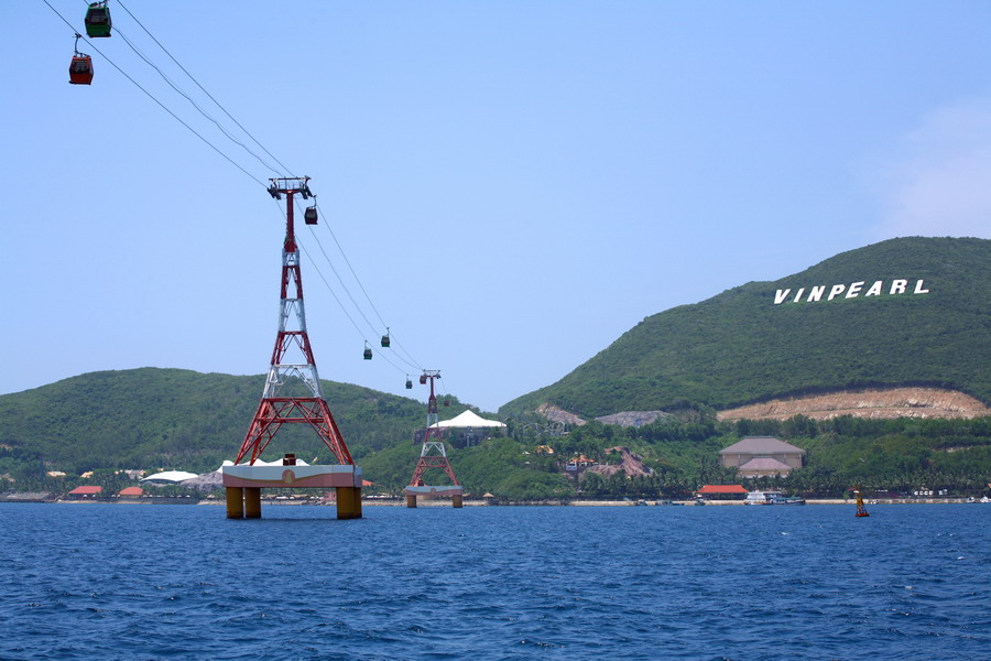
From the city, you can go to Hon Tre Island by sea or telpher,
which is the longest over-the-sea telpher in the world with the
length of 3,320 meters. |
 |
|
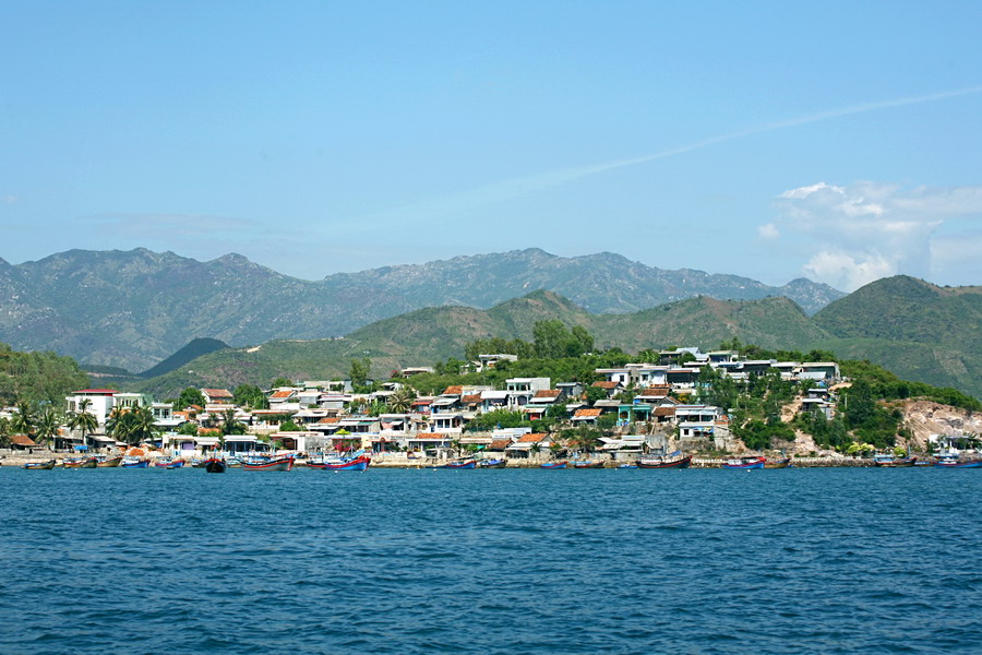
A residential area on Hon Mieu Island (also called Bong Nguyen Island) |
 |
|
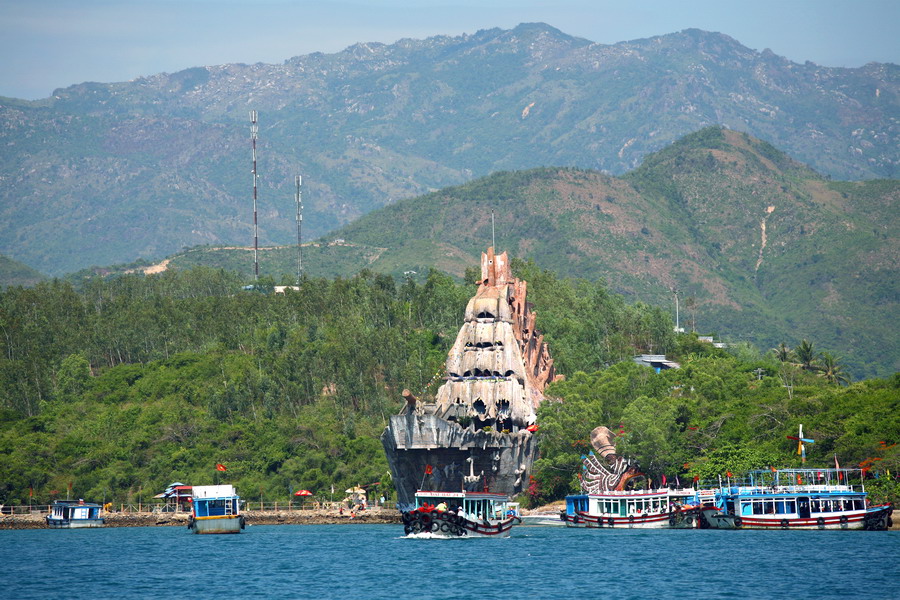
Tri Nguyen Water Palace on Hon Mieu Island, shaped like a ship. |
 |
|
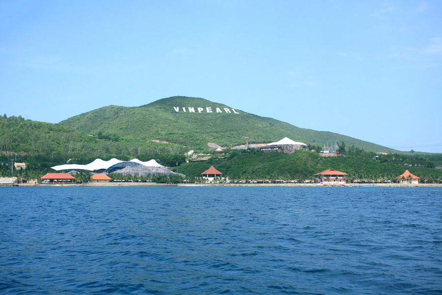
The waters of Bai Tranh tourism area, from Hon Mieu Island looking
toward Hon Tam Island |
 |
|
Hon Tre Island from the other corner |
 |
|
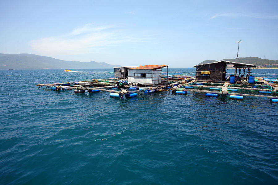
Floating houses to raise aquatic products on Nha Trang Bay |
 |
|
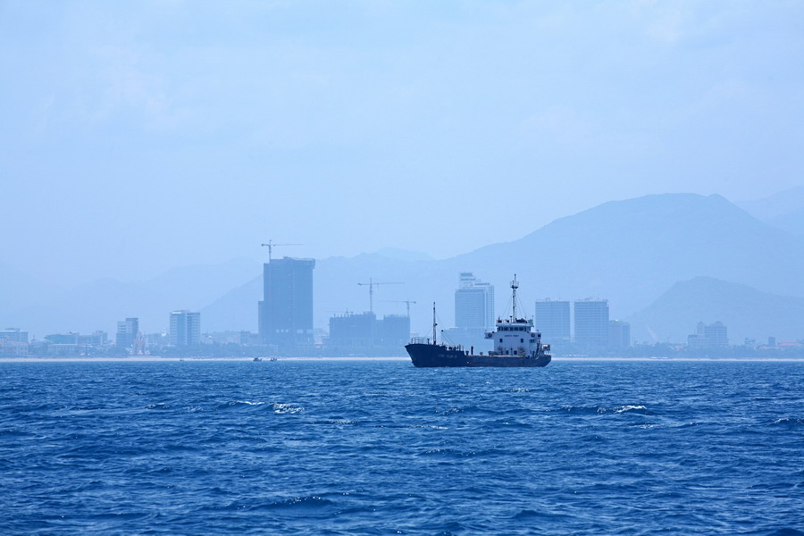
Nha Trang city as seen from the sea |
 |
|
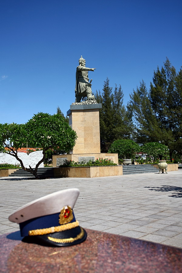
Bach Dang Park before the Vietnam Naval Academy
on the seashore of Nha Trang Bay |